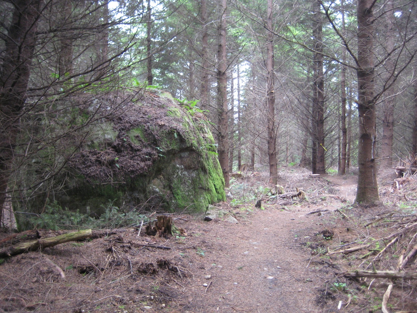
Time: 2 hours 7 minutes
It's a sunny 4th of July, and Raney and I waste no time this morning getting out to the south side of Galbraith. We hope that yesterday's long and heavy rainfall won't make the trails too gummy.
Our route covers 4 new-to-us trails: Mullet, Cheech & Chong's Wild Ride, Safety Break, and Meth Lab.
Each of these trails are "black diamond" expert mountain biking trails. As such, they're restricted to mountain bikes, and have 'no hikers' signs at their entrances. I didn't realize this when planning this route, but it makes sense given the sharp slope and sometimes dangerous stunts on these trails. The last thing a mountain biker needs is to have to dodge a hiker and his dog while negotiating the stunts and steep drops.
Hoping for forgiveness, we walk those trails anyway, and pull well off the path of the handful of bikers we encounter along the way.
 |
| Some of the impressive stunts on Cheech & Chong's Wild Ride trail. |
 |
| We had a little blip in our Runkeeper GPS tracking. Actual distance estimated at 4.89 miles, and 2 hours 7 minutes. |
Following our preferred entrance in, we leave Padden Trail parking lot, cross Samish Way to Galbraith lane, and head up N. Galbraith lane. Crossing the two gates, we arrive at the kiosk marked Checkpoint Alpha. Distance from parking lot: 0.6 miles, 11 minutes.
 |
| Heading north on Galbraith Lane. |

We take logging roads up, so that on the return we're descending the trails. In fact, these trails are considered "directional" trails - i.e. one-way in the downhill direction - and travel in the opposing direction is discouraged. For Mullet and Cheech & Chong, that means you want to plan your route so that you travel in an east-to-west direction.
Following Tower Road (Road 2000) upwards, we go past Road 2200 (0.85 miles, 16 minutes). Then we pass Road 2300 on the right, which leads to Stick trail in the Three Pigs area (1.2 miles, 23 minutes).
The next major junction on Road 2000 is where Road 3000 peels off to the right (1.5 miles, 29 minutes). We follow Road 3000 eastward.

A few minutes into Road 3000 we spot Straw trail on the right. It's unmarked, but we note it as it's the only Three Pigs trail we haven't walked yet... we'll traverse it on some future day. There's also a trail leading to the left, that's not on my 2011 trails map. I'll have to see if it's a named trail when the 2012 map comes out, which should be soon.
 |
| Straw Trail drops to the right from Road 3000. |
 |
| At 35 minutes, 1.7 miles, Road 3100 exits to left. We continue on Road 3000. |
 |
| Some very welcome blue skies over Galbraith. |

Mullet trail is marked with a wooden sign. We reach it at 2.2 miles, 47 minutes.


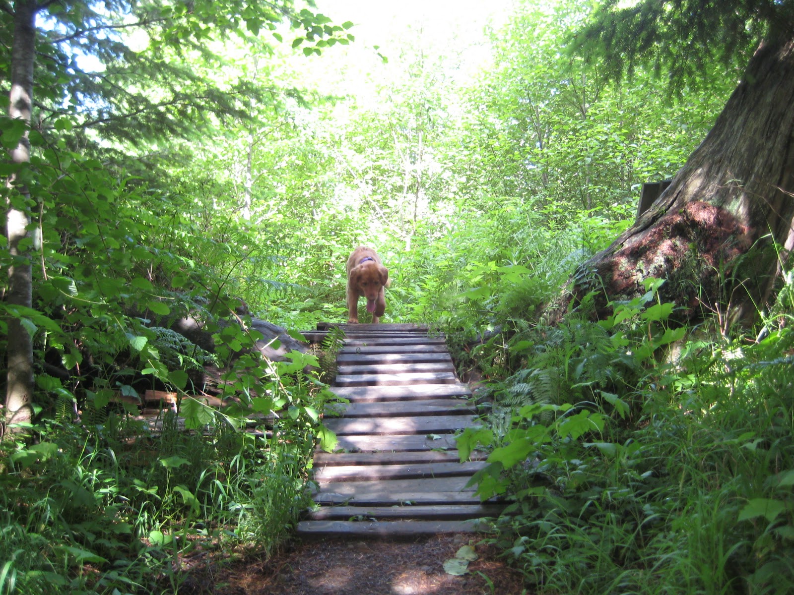
After the steep climb in the sunshine on the uncovered logging roads, Mullet offers a cool and shady hike. This route has a lot of boardwalks, bridges, and stunts - some built with hauled-in wood and some shaped out of the natural terrain.


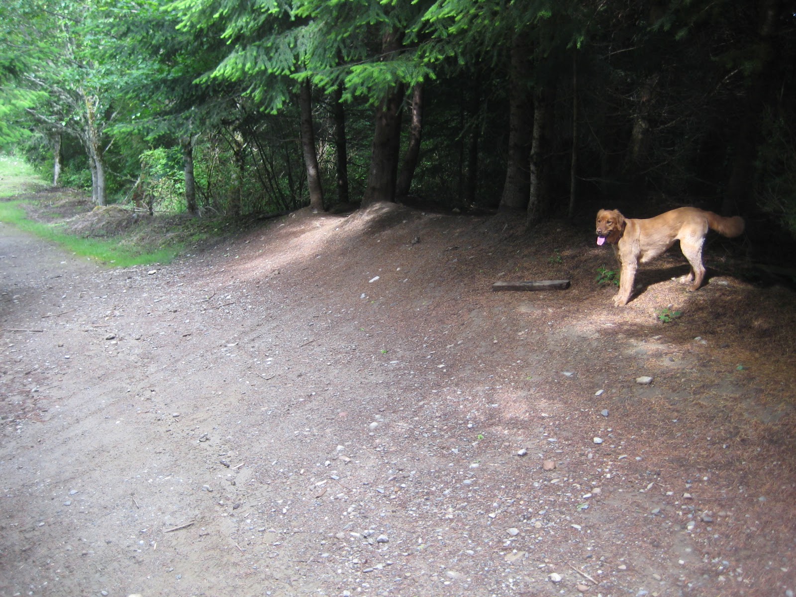 |
| We cross an old logging road at one point, and continue on Mullet. (52 minutes, 2.3 miles) |

Partway into Mullet we come across two mountain bikers, who report seeing a bear near Kaiser Trail. Kaiser crosses Mullet in the open logged area shown below. (1 hour 13 minutes, 3.0 miles.) We keep an eye out for it, and I'm hopeful that the tinkling of Raney's collar will help us avoid any surprise encounters.


 |
| Stunts on Mullet - designed to deliver serious airtime for the mountain bikers. |


Eventually we arrive at the end of Mullet, at the kiosk labeled Checkpoint Charlie. (3.2 miles, 1 hour 18 minutes.)


We cross Road 2000 and head down Cheech & Chong's Wild ride, also known as Shawn's Trail.
 |
| This sloping rock makes a natural banked turn for the bikes. |
 |
| The stunt construction here is amazing! |


 |
| Raney spots a squirrel. |

Cheech & Chong forks in a few places, and we end up on the south-facing fork. This meets up with Road 2200. (3.8 miles, 1 hour 35 minutes.) We turn left (south) on Road 2200.
A few hundred yards later, Road 2200 meets Tower Road. We follow Safety Break trail which will lead us to Meth Lab, and out to Pipeline.
Ten minutes on Safety Break gets us to Meth Lab trail.


At the end of Meth Lab, we meet an overgrown road, which is more like a path. (4.1 miles, 1 hour 48 minutes.) This is Road 2020, and turning left here brings us back to the kiosk marked Checkpoint Alpha.
 |
| Heading south on "Road" 2200. |
 |
| Back at Checkpoint Alpha kiosk (4.3 miles, 1 hour 50 minutes). |
We follow Galbraith Lane to retrace our steps back to the car. Lake Padden trailhead parking is now filled to overflowing with the holiday crowd of mountain bikers. Glad we got an early start this morning. We end up back at the van at 4.89 miles, 2 hours 7 minutes. What a great start to our 4th of July!

 |
| Our loop route follows logging roads for the ascent, then takes steep trails downwards. |