I compiled a list of 144 trails and roads running through Galbraith, using various maps. I made most use of the excellent WHIMPS maps created by Chris Behee. Those maps are available from local running and biking stores.
To inventory each trail, some of which are very short, I enlarged the map by 50% and taped together the wall map shown below.
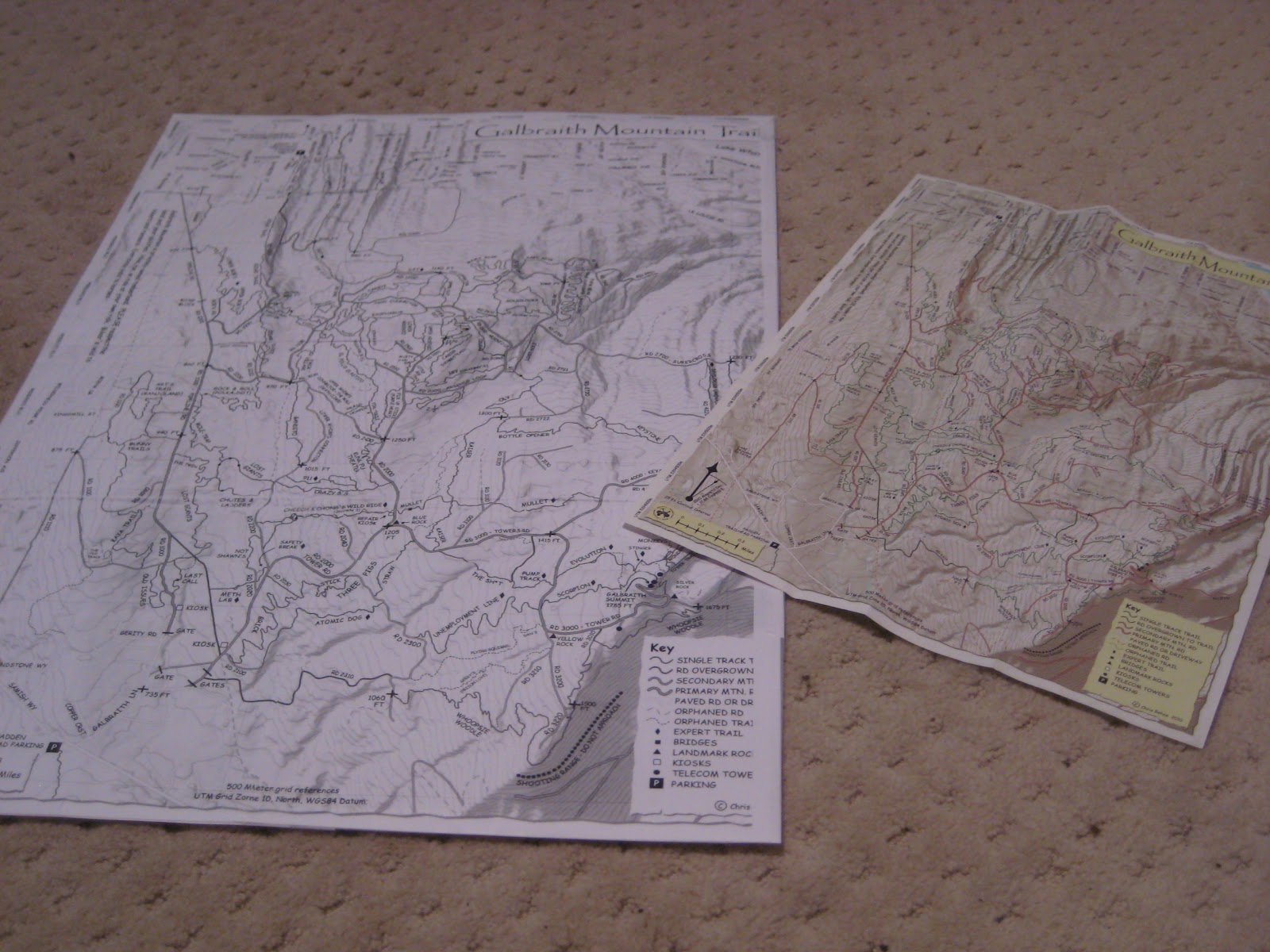

As I hike the trails, I update the trails list with a link to the post describing the hike. And for my own benefit I highlight in green the trails I've hiked on the wall map.
Then I plan the next Galbraith route I want to take. When the quest is over, I expect that much of that map will be covered in green.

No comments:
Post a Comment