Time: 1 hour 20 minutes
Raney has had a few rest days, and it's time to knock off some of those south-side trails on Galbraith. Under grey and showery skies, we set out for the Padden trailhead. We're heading for the "Three Pigs" area of Galbraith, where the Straw, Stick, and Brick trails await. We cover the last two of those today.
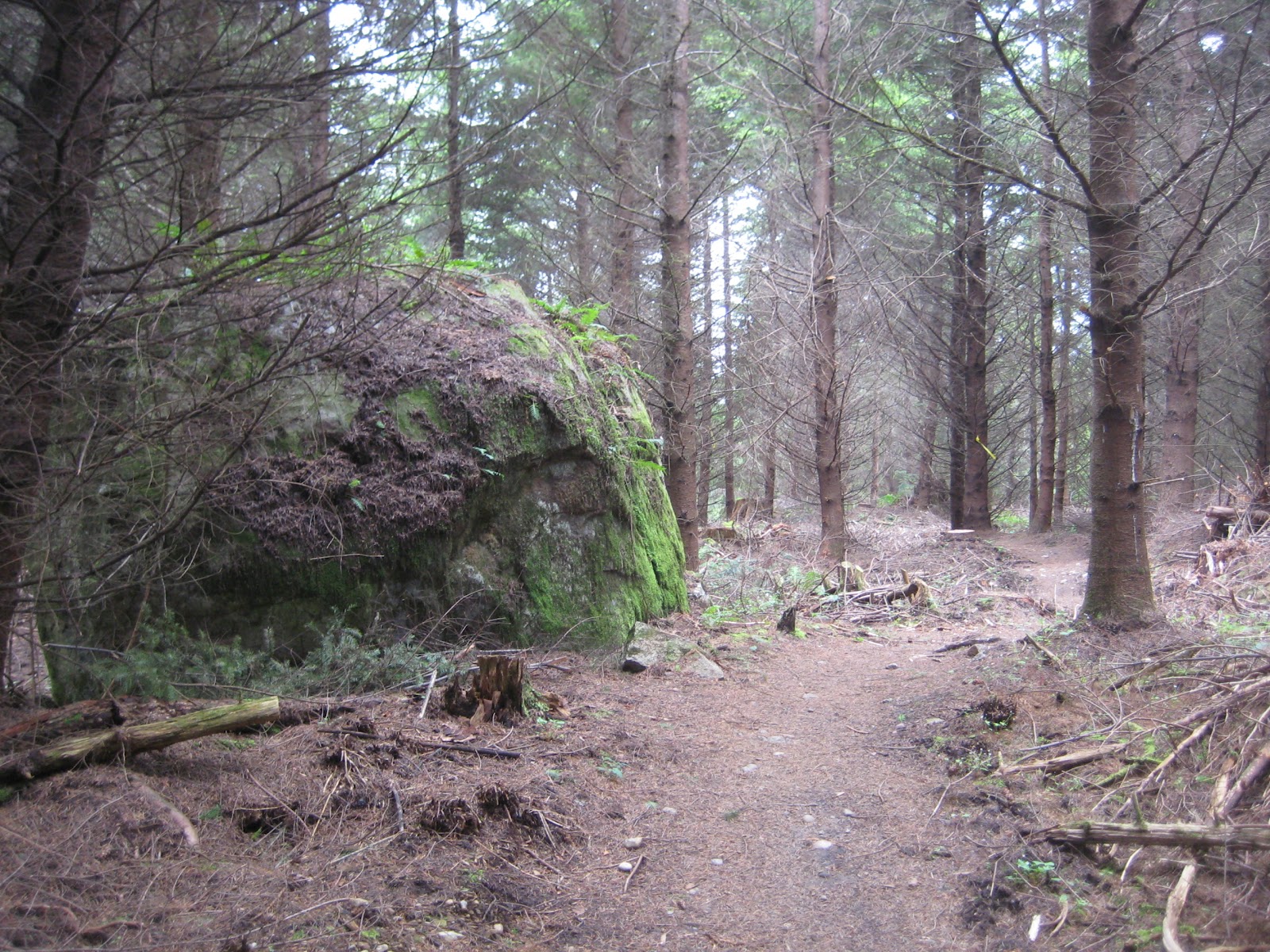
 |
| Raney descends the switchbacks on Brick trail. |
 |
| Our route takes logging roads on the ascent, then follows the windy trails downward. |
I learned something today: the proper way to access the south-side trails (other than through Pipeline / Checkpoint Hotel access). I was deterred on earlier hikes by some of the No Trespassing signs, and this morning I finally figured out the route that's permitted by the local landowners.
First off: the pic below shows the *wrong* way to go up Galbraith (which I did on the way up today). This is one of two ways in that's marked on most Galbraith maps.
 |
| *Not* the route to take to get into Galbraith south-side. |
Going in our route, we come to the south-side kiosk marked Checkpoint Alpha. (Distance from Padden trailhead parking: 0.8 miles, 15 minutes.)
 |
| Approaching the Checkpoint Alpha kiosk from Road 2000. |
The plan is to follow Road 2000 (also known in this stretch as Tower Road) north, to get to the Stick trailhead.
Below, we bypass Road 2200 which branches off to the left. The Meth Lab trail runs from this junction over to Pipeline. Looking forward to that one someday soon - it's an expert trail for mountain bikers so should make for an interesting hike. (1.25 miles, 25 minutes.)
 |
| Road 2200 (which heads due north into Galbraith's higher trails) branches off of Road 2000 (towards the Galbraith telecom towers). |
Looking for Road 2300, we walk by it until we come to Road 2040 and realize our mistake. We double back to Road 2300. It's a logging road with a fresh layer of rough rock laid upon it, heading south and east from Road 2000. This area was harvested by loggers in 2011.
Not far into Road 2300, Stick trail leads to the right. It's marked by red ribbons for most of it. (1.6 miles, 36 minutes.)
 |
| Trailhead for Stick trail, off of Road 2300. |


Stick trail ends at Road 2030. We take a slight dog-leg right, then continue on Brick trail which exits to the left. (2.0 miles, 47 minutes.)


It's a sprinkly day, and the relatively sparse growth here offers little cover for it. Still, it's warm and calm, and a good temperature for hiking.
Brick trail ends at Road 2100, right near the Checkpoint Alpha kiosk. (2.8 miles, 1 hr 7 min.)

From here we bear left, taking the road through the double gates and onto Galbraith Lane. Here's a pic of this access point as it looks if you're coming up Galbraith Lane.

Walking back down towards the trailhead, we reach the van at 3.2 miles and 1 hour, 15 minutes. Due to time constraints (another vet appointment - worms this time!), we didn't cover Straw, the other little pig trail. We'll be back before long to hike that one, and probably cover the lower part of Atomic Dog trail as well. Now, off to get medicine for the poor pup.
 | |||
| This route features a steep ascent on logging roads, then the return on Stick and Brick's switchbacks. |
No comments:
Post a Comment