
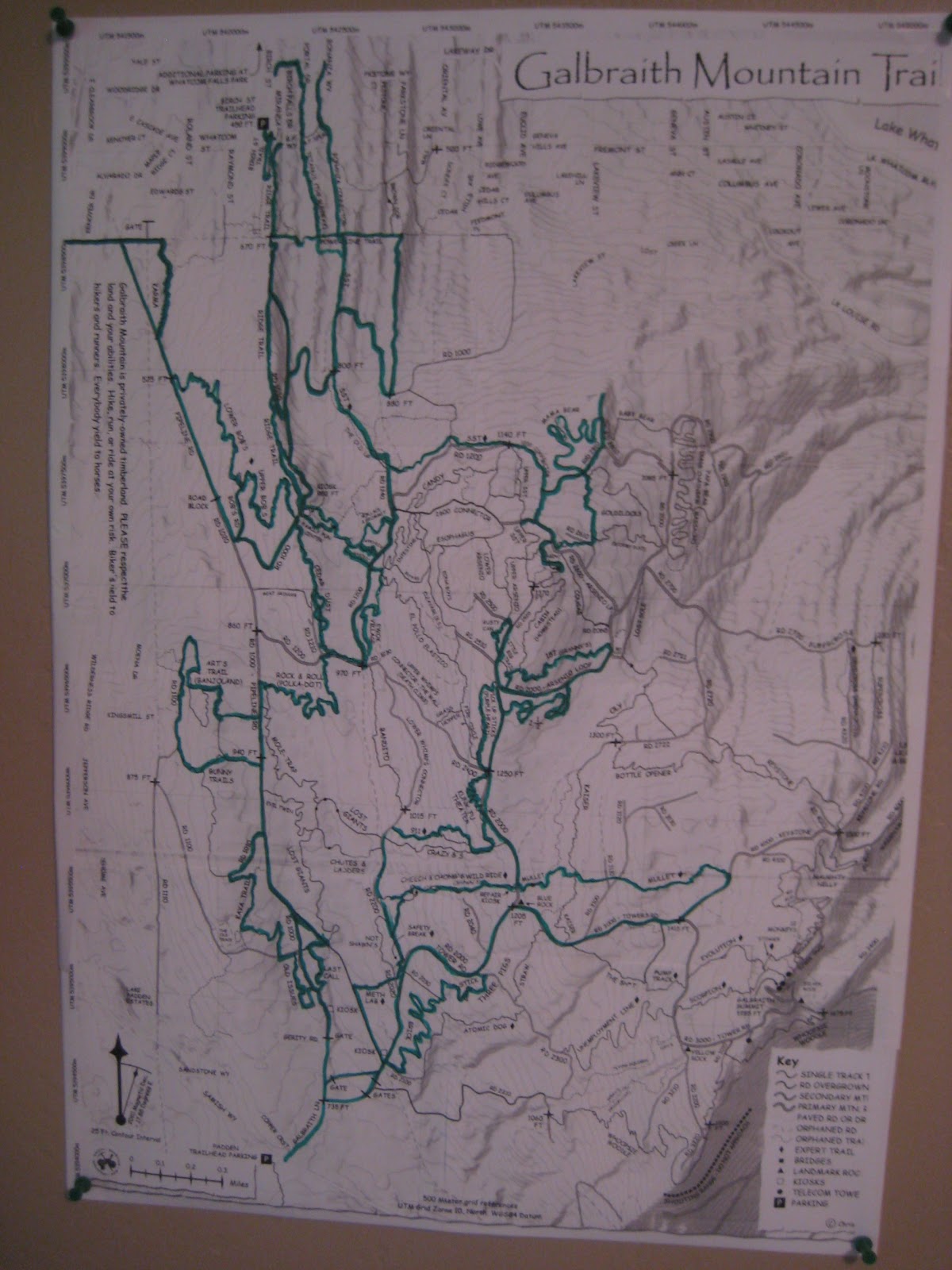
Getting pretty green! So far we've hiked 88 miles, and covered 77 of the 146 trails and roads on Galbraith.
For upcoming hikes, we'll be spending more time in the mid-section around the cabin, the Three Bears area, and in some of the trails coming off the summit on the south side.
Here's a look at earlier versions of the wall map from the past few weeks:


If you're planning to hike Galbraith, don't leave home without the excellent WHIMPS trail map. It's indispensable - for planning a hike, and for reference when you're up there in the woods.
And - speaking of covering all of Galbraith - I noticed recently that Bellingham author/mountain biker/runner/all-around-adventurer Mike McQuaide and friends have ridden pretty much all of Galbraith trails on their mountain bikes... in one long day! See this post for how they did it!
No comments:
Post a Comment