Time: 3 hours 28 minutes
Raney and I head out at about noon, with our sights set on bagging five new Galbraith trails. The plan is to take logging roads up to the summit, and then to descend on a series of single-track and free-ride trails. It'll be a long day, but I'm excited to see the views from Wonderland and Naughty Nelly trails.
 |
| Panoramic view from Naughty Nelly. |

After two days of solid rain, we're getting a break in the weather today. With high cloud with occasional sunny breaks, it's a comfortable temperature for hiking.
We leave the Padden Trails parking lot on Sumas Way. We head into Galbraith via Galbraith Lane and the kiosk marked Checkpoint Alpha. (See directions to Galbraith access points.)
 |
| This is new: trailhead parking being offered on Galbraith Lane. |
 |
| Heading past the Checkpoint Alpha kiosk. |
 |
| Raney at blue rock junction. |
At 2.5 miles, 50 minutes, we get to yellow rock junction, where Road 3200 forks to the right. Here we take the left fork; we should be within ten minutes or so of the summit at this point. A few moments later we go by the fork at silver rock, where we take the left fork.


 |
| Yellow rock junction. |

We reach the summit, and checkpoint Echo, at 3.0 miles, 1 hour 2 minutes. There are two radio towers close to each other here. Turning left after the second tower, we come to the entry point for the path leading to Stinger, Scorpion, and Evolution trails.
We descend on the path, and shortly we come to the first major stunt on the trail. This is the point where the three paths split out. We want to get to Wonderland, so we take the trail to the right which is Stinger.

 |
| Checkpoint Echo at the Galbraith Summit. |
 |
| Raney's not too sure about this stunt! |
 |
| Meeting point of Scorpion, Evolution, and Stinger trails. |
Stinger heads uphill in this direction. We walk by an impressive boardwalk on a huge log log that must be well over 100 feet long. Shortly on Stinger there's another fork, where we go right to get to Wonderland.


At 3.2 miles, 1 hour 15 minutes, we come to another junction of trails. We go left and at this point we're on Wonderland trail. Wonderland brings us to a fantastic view of the surrounding mountains, and then the trail drops sharply downhill. Looking to the southeast we can see Galbraith's secondary peak with its radio towers, and Lake Padden down below.


 |
| Wonderland provides great views of Lake Whatcom. |

 |
| Looking toward Galbraith's secondary summit. |


Wonderland, which is quickly becoming one of my favorite view trails, ends at Road 4100, at checkpoint Foxtrot. This is a bit of a milestone for me, as Foxtrot was the only one of the 14 Galbraith checkpoints that I hadn't encountered yet.

At Foxtrot, there's an intersecting road, unnamed on my map. Right at that junction is where Naughty Nelly trail leads off to the right.
 |
| Naughty Nelly starts off of Road 4100. |
At 3.6 miles, 1 hour 34 minutes, Naughty Nelly comes back to Road 4100. We follow this for a few steps until we see Naughty Nelly breaking off to the left, just before we get to Road 4130. In another five minutes, the trail comes back to Road 4100, and crosses it with a slight dogleg to the right.
The next half mile of Naughty Nelly gives us further views of Lake Whatcom. What a trail; fantastic views as we descend.


Naughty Nelly ends, coming out at the junction of Roads 4000, 4010, and 4200. (4.3 miles, 1 hour 55 minutes.) The endpoint of Naughty Nelly is right by the Road 4000 sign at this junction. Just a few steps up Road 4200, we come to the start of Keystone trail on the left.
We've been on Keystone before, but today the plan is to take it due west until we get to Bottle Opener trail.
 |
| Lower end of Naughty Nelly trail. |

At 4.6 miles, 2 hours 4 minutes, Keystone crosses a road, not marked on the map. Going along Keystone, we come upon a guy working on his own with a shovel, draining some of the puddles on Keystone. We chatted for a bit about current trail conditions and the upkeep of the trails. He suggested joining the Yahoo Galby group.


Shortly we go down past a little gully, across a small creek, then back up the other side. At that point we get to Bottle Opener trail cutting away on the left side. (4.9 miles, 2 hours 16 minutes)
Bottle Opener is a pleasant trail, especially for the first few hundred yards. Deeper in, it starts to get a bit overgrown, and has quite a few puddles from our recent rain. It's a very flat trail, generally descending in our direction of travel.

Bottle Opener ends on Road 2722, at 5.4 miles, 2 hours 31 minutes. We turn left to head towards Kaiser. A few steps down we see the turnoff for Oly with its small trail sign. We're saving Oly trail to cover on another day.

In ten minutes, Road 2722 peters out in a small field of daisies and we're now on Kaiser. A bear was spotted on Kaiser a couple of weeks ago, so it's good we have Raney's bear bell attached to her collar. We head down the narrow Kaiser trail.
 |
| Raney enters the start of Kaiser trail. |
At 6 miles, 2 hours 45 minutes, the trail crosses Mullet trail. With a slight dogleg left, we cross Mullet and continue south on Kaiser. We're heading down towards Tower Road. Just past that intersection, we startle a large beautiful doe. It bounds off and disappears in the wood before I can get my camera on it. One disadvantage of Raney's bear bell is that it does give a bit of advance notice of our arrival to wildlife.
Kaiser trail is mostly flat and rolling. It descends gently in this direction of travel, going through some nice wooded areas, and occasionally passing through a logged-out area.
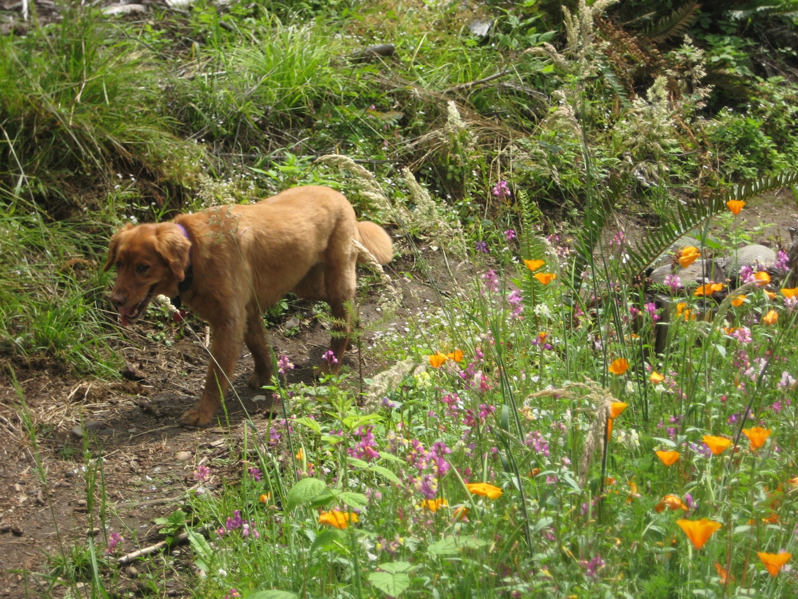
In about ten minutes, we go through a beautiful area where orange wildflowers are blooming. We come to a fork, but it's just a side trail that re-connects shortly.


Kaiser spits us out on Road 3000 (6.3 miles 2 hour 57 minutes). This is the end of our loop; we're turning right on Road 3000 and heading out the same way we came in.

A mile down the logging roads, we get back to Checkpoint Alpha (7.2 miles, 3 hours 15 minutes). The sky has completely cleared now, and it's a warm walk downhill on this logging road. The sun is always welcome in this part of the world, but I'm glad we avoided it earlier in the day during the climb up.
We make it back to the parking lot at 7.8 miles, 3 hours 28 minutes. It's been another good long day in the woods with Raney, and I'm pleased to add Wonderland and Naughty Nelly to our list of favorite Galbraith hikes.

No comments:
Post a Comment